Battle of Langport
10th July 1645

Name: Batle of Langport
Date: 10 July 1645
War period: The Civil Wars
Start time and duration: morning lasting several hours
Armies and losses: Royalist army of circa 7,000 men commanded by General George Goring; parliamentarian force of around 10,000 men commanded by Sir Thomas Fairfax. Losses: Royalist: circa 1,500 captured, few killed; parliamentarian: few
Outcome: Parliamentarian victory
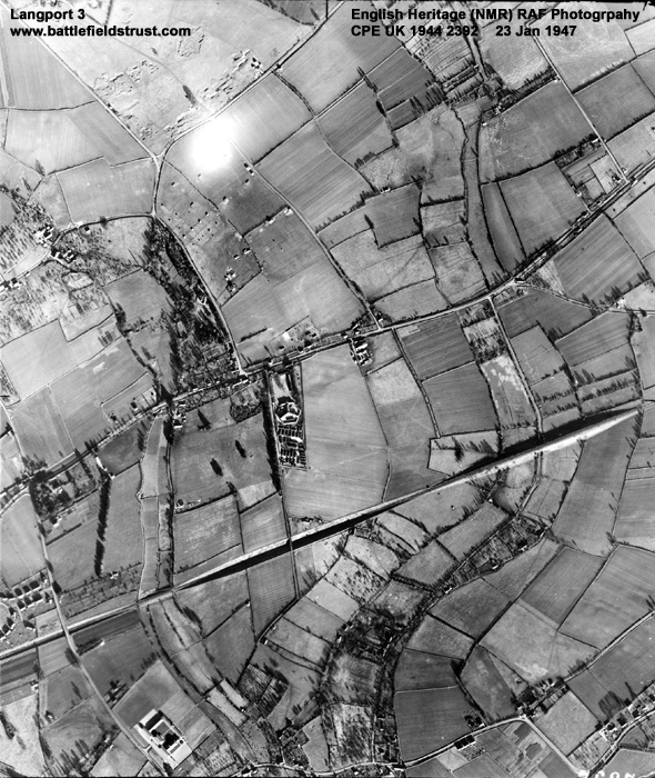
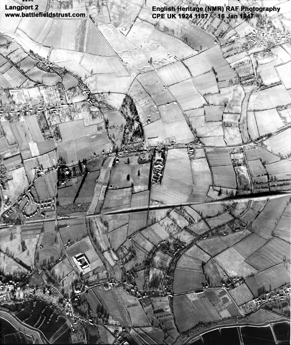
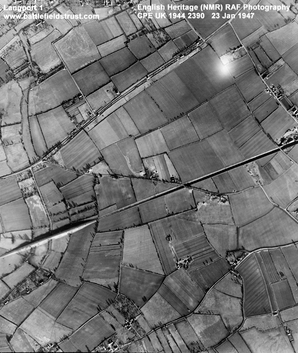
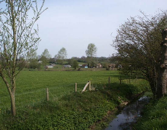
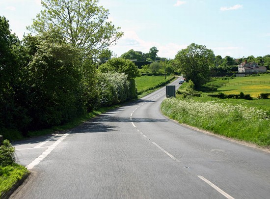
Location: Whilst alternative sites have been suggested, Battlefields Trust archaeological investigations in 2021 and 2023 have confirmed the battle's location in the fields either side of the B3153 east of Langport. The battle was fought over open fields and in enclosures.
Map details: Grid Reference: ST441276 (344184,127698); OS Landranger map: 193; OS Explorer map: 129
The vanquishing of a royalist army in the south-west by the New Model Army further reduced the King's military capabilities and hastened his ultimate defeat.
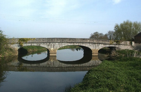
The New Model Army approached the small town of Langport from the east. It was a key bridging point where the major road from Somerton passed between two large areas of wet moorland. This was a logical place for the royalists to make a stand, or at least to try to hold up the parliamentarians in order to enable retreat, via Sedgemoor, to the port of Brridgewater. Goring sent his baggage and artillery ahead towards the port, keeping only two pieces of ordnance with the army. He then turned and marched out to the east of Langport, to face the parliamentarian army. Though he held a strong position, on high ground controlling the roads that approached the town from the east, his forces were still outnumbered and outgunned and were soon defeated.
Although the royalist army was not destroyed at Langport, the defeat was to have a significant effect upon troop morale. As Goring admitted: 'the consequences of this blow is very much for there is so great terror and dejection amongst our men that I am confident at this present they could not be brought to fight against half their number’. Bridgwater fell soon after, isolating the remaining royalist garrisons in the West Country.
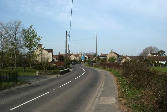
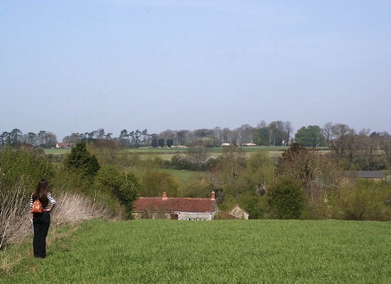
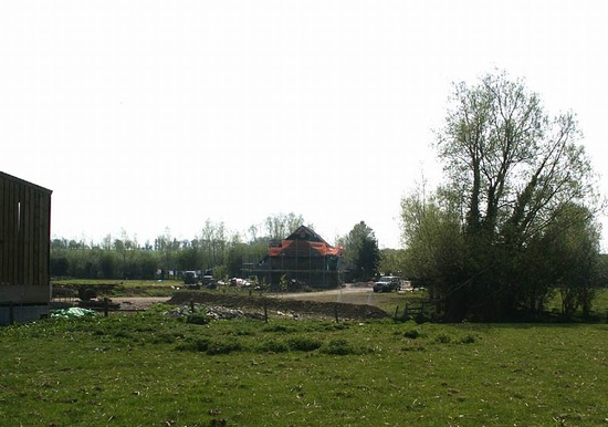
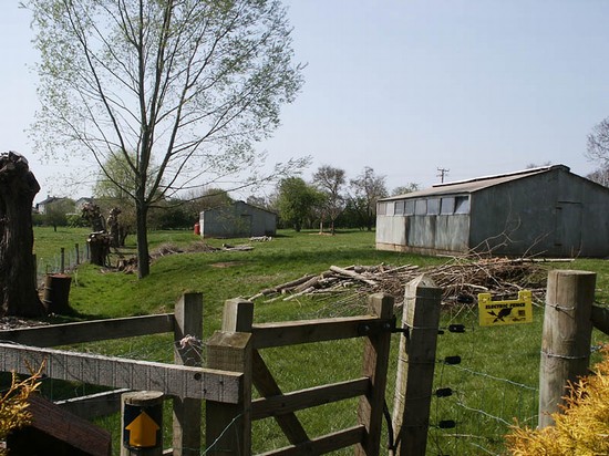
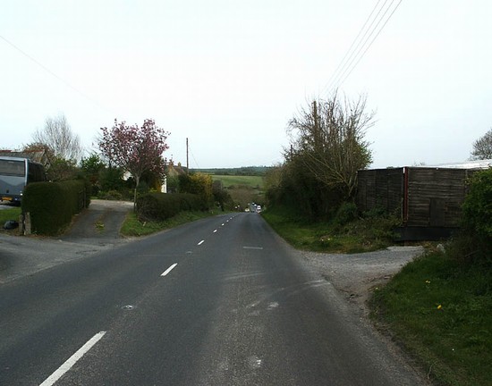
Three alternative locations have been suggested for the battle along the Wagg Rhyne. Archaeological research by the Battlefields Trust in 2021 and 2023 indicates that the location of the battle is that registered by Historic England on either side of the B3153. The reports of these metal detecting surveys are available for download in the File Download section on the left of this webpage. Most of the landscape here is still agricultural but there has been some development, especially on the southern site, while there is continuing small scale erosion of the battlefield by small scale development right across this landscape.
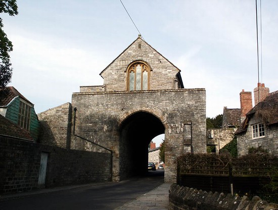
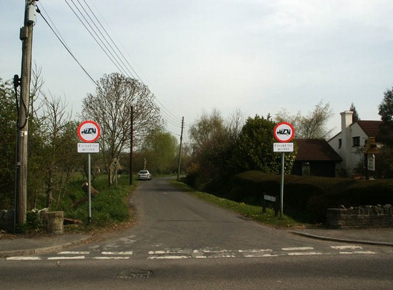
There is no on site interpretation or monument at the registered battlefield site, though an information board is located at Huish Episcopi on the A372. The Wagg Drove is a quiet narrow lane with verges running a little to the side of the Rhyne, giving public access across part of the battlefield. Furpits Lane, where there is some limited parking and public footpaths south east of Hamdown House and the Wagg Rhyne also enable the battlefield to be explored. The B3153 is a very busy, fast road with no verges. Although it is possible approach the point where the road crosses the Rhyne by walking along the Wagg Drove, it is not recommended to attempt to walk along the main road itself.
A leaflet describing a battlefield walk at Langport can be downloaded from the panel on the left.
- Historic England Battlefields Register CLICK HERE
- Historic England battlefield report for Battle of Langport 1645
Langport pages compiled by G Foard and T Partida, May 2005.


