Battlefield Walk
The walk starts from the lane leading to Winceby Manor Farm and High Barn. It is 3.5 miles mainly on footpaths through arable fields, with several relatively modest ascents and descents, plus short sections on metalled roads. The half mile section along the B1195, along Slash Lane and back into the village, must be negotiated with great care, especially the short section as you enter the village where the verge is narrow. This is not a busy road but the traffic can be quite fast.
The walk described here is meant to be used in conjunction with the Battlefield Explorer map, which can be downloaded from the Media Store.
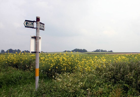
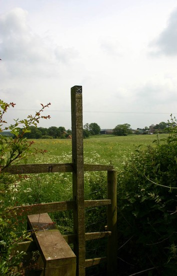
Climb the stile adjacent to Winceby Manor Farm and cross the pasture fields through the area where medieval Winceby once extended well beyond the present village, passing the site of the church and reaching the main road adjacent to Winceby House Farm. The commemorative stone is immediately in front of the House adjacent to the road. Turn around and walk westward along the road. 200 yards on the left hand side of the road a footpath leads through a small spinney and out onto a narrow ridge. As you emerge from the spinney and walk down the hedgerow along the ridge, look to the right. Across a shallow valley is another ridge running parallel, along which runs the road to Hameringham. It is possible the royalist forces deployed on that ridge and the parliamentarians on the ridge you are standing on. The enclosures of Winceby will have provided flank protection on the right of the parliament lines. Continue along the side of the field. At the bottom of the hill you reach an area which may have been marshy before drainage in recent centuries and the parish boundary which was probably bounded by a hedge in 1643. This may have provided flank protection on Cromwell’s left flank.
Follow the path to the top of the hill by the Old Ash. From here it is possible to shorten the walk by turning right to return along the road on the ridge top where the royalist forces may have deployed. If you choose to do this then you can still view the western part of the battlefield by driving to the lay-by described in the Drive section. The road along the ridge takes you back to the B1195 at the top of Slash Lane where you rejoin the longer walk (see below).
If taking the longer route then cross over the road and down into the next valley, passing through and then skirting around the (west) side of Westmoor Plantation, which was not in existence in 1643. At the end of the wood turn left up over the hill to Scrafield. When reaching the road turn right through the site of Scrafield village which is now little more than a single farm. After 500 yards take the footpath on the right over the hill. This follows the line of the old Horncastle to Bolingbroke road. When you reach the eastern side of the hill you are on the right wing of the royalist deployment as suggested in the Battlefields Register. Slash Lane, followed by the modern road, runs up the hill on the other side of the small valley across which the royalists are said to have faced Cromwell’s cavalry on the other ridge, towards Winceby. In the 19th century burials were said to have been found along this lane.
Half way down the hill the path joins the B1195. Continue on along the roadside verge to the other ridge top. From here you can look back from the possible parliamentarian to the royalist position. Turning eastward again, from the other side of the Hameringham road, which turns off to the right, you can look from the alternative royalist position across to the ridge to the right of Winceby village, where you walked earlier, which may have been Cromwell’s position at the start of the battle. Continue with care along the main road back into the village to the car.


