click here to print

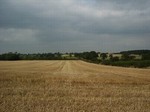 Looking north across Broadmoor from the parliamentarian position towards the roaylist deployment on Dust Hill.
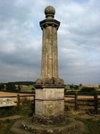 The battlefield monument.
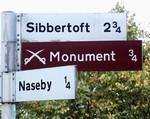
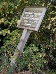 An old sign directs visitors to the battlefield monument.
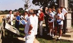 An adult education group visits the battlefield.
 #
# #
#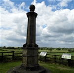 Cromwell Monument
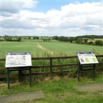 Royalist position in the distance from the Cromwell Monument
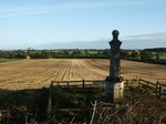 Looking north across Broadmoor from the battlefield monument.
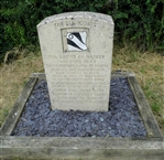 Monument commemorating the last stand of Prince Rupert's Bluecoats
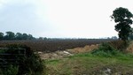 The plateau towards the northern end of the battlefield.
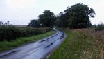 The Naseby-Sibbertoft road is the general route along which the royalist infantry retreated.
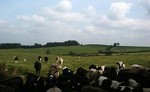 Moot Hill, on the line of the royalist retreat.
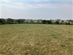 Parliamentarian position on Broadmoor from the royalist position close to Dust Hill Farm
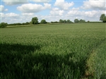 Sulby Hedges
 The probable site of the royalist baggage train, near Lowe Farm.
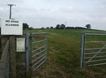 A permissive path leads along the line of the royalist's fighting retreat at the northern edge of hte battlefield.
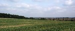 Looking from Moot Hill to Wadborough Hill, though to be where the king's old infantry were destroyed.
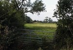 A traditional site of mass burial in Broadmoor.
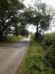 Looking south across Broadmoor to the parliamentarian position.
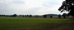 The small hill, site of the rabbit warren, where Cromwell's cavalry deployed.
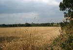 Broadmoor from the parliamentarian right wing of infantry.
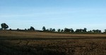 The gentle slope from Broadmoor up to the parliamentarian position.
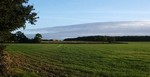 Langdale's right wing of royalist cavalry deployed on the eastern end of Dust Hill.
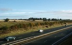 The A14 cuts through a field of ridge and furrow close to the site occupied by the parliamentarian baggage train.
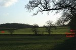 All these hedges, trees and plantations were laid out in the 19th century. The erathwork 'headlands' are all that survive of the strip field system that existed here when the battle was fought.
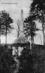 The early 19th century obelisk monument as it was in the early 20th century.
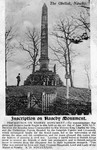 The obelisk with its inscription in the early 20th century.
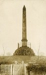 The obeslisk in the late 19th century.
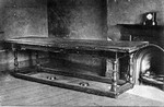 The Cromwell Table in the Naseby Reading Room in the early 20th century.
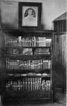 The Cromwell Library in the Nasby Reading Room in the early 20th century.
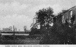 Broadmoor Farm in the early 20th century.
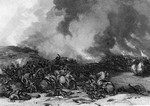 A fanciful Victorian engraving of the battle.
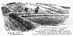 Naseby field in 1896.
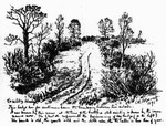 Sulby Hedges in 1896.
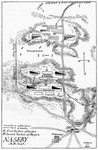 Barrett's 1896 plan of the battle.
Battle of Naseby
14th June 1645
The battle of Naseby was fought on the morning of the 14th June 1645. In the open fields of that small Northamptonshire village, parliament's New Model Army destroyed King Charles I's main field army. After nearly three years of conflict, this was the decisive battle of the Civil War. Only about 4000 Royalists escaped the field, most of whom were either cavalry or senior officers, some seriously wounded. The main royalist field army had been quite literally destroyed.
In the following days Leicester was recaptured. The next month the New Model went on to defeat the last significant royalist field army, at Langport. Thereafter it was largely a matter of clearing the remaining royalist garrisons.
After Hastings and the Battle of Britain, which respectively began and ended the last millennium, Naseby was arguably the most important and decisive battle ever fought in England. Where those other battles were the result of challenges to the very basis of the kingdom by foreign foes, Naseby was the culmination of a bloody Civil War and the stepping stone for a political revolution.
Despite the construction of the A14 road in 1992, Naseby is relatively well preserved and one of the best understood of all British battlefields. It is well worth visiting, for it is easily accessible on minor roads, from which one can gain a good feel for the character of the landscape. However there are few rights of way and thus little opportunity to explore the battlefield on foot. Sadly the interpretation at Naseby does not match the national significance of the battle. This is why the Battlefields Trust is currently developing a staged programme to enhance the on site interpretation of this key English battle.
- Historic England Battlefields Register CLICK HERE
- Historic England battlefield report for Battle of Naseby 1645
- For details of interpretive facilities at Naseby see the Naseby 1645 Project website HERE
© 2004 The Battlefields Trust.
This website was created with the support of the Heritage Lottery Fund and the Hartnett Trust