Crossing the Trent
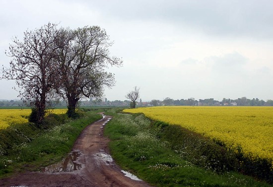
The floodplain of the Trent is now main arable with a few fields of pasture. These hedged fields were created when the parish was enclosed in the 18th century. Before this, at the time of the battle, it was an area of meadow and marshland. Earthwork evidence of ancient river channels can be seen running through this area on the 1940s aerial photographs and close to the road in the field one such feature can still be traced, running parallel to the lane. At the far end of the meadow in the early 20th century there was a ferry on the site of an earlier ford, which is said to have been passable during the summer months. The route of the medieval road from the ford to East Stoke village has gone, replaced by the straight modern lane created at Enclosure. Various authors have suggested that the rebel army crossed the Trent at the Fiskerton ford to their camp at East Stoke on the night of the 15th June.
Crossing such a major river as the Trent by a ford and then using a minor road or track to cross a substantial area of floodplain, which probably included extensive marshy areas as well as multiple river channels, seems highly improbable. This would be particularly the case for a large army with a substantial baggage train, all within just a few hours march of the enemy. And indeed there is no mention in the contemporary accounts of the Fiskerton ford being used by the rebel army. It seems that the story is based purely on local tradition. The use of a bridge on a major road is far more likely, especially as the rebel army had used the Great North Road for most of the rest of its march south, then to turn and march along another major road, the Foss Way, to Stoke, with the flank protection offered by the rivers Trent and Devon on either side, as long as the crossing at Newark was not barred to the army, and no source indicates that it was. Indeed this is exactly what Molinet, the 15th century chronicler, actually states that the rebel army did, crossing at Newark and marching for two or three leagues alongside the river, and the Foss Way does indeed follow close by the river for four miles.


