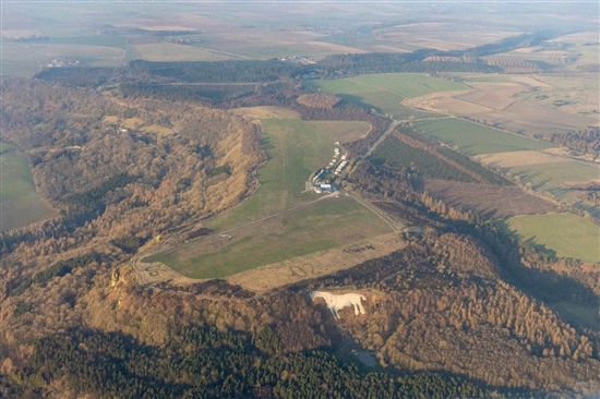
Aerial view of Sutton Bank – at top left – and Roulston Scar – at bottom – from the south. The steep gully of Boar’s Gill is clearly seen above and to the right of the White Horse. This was one of the routes – with Hell Hole just out of picture to the right – used by the Scots to outflank the English position.
Kim Werner 2021 Click here to see the original (larger) version of this image CLICK HERE TO PRINT THIS PAGE Close window